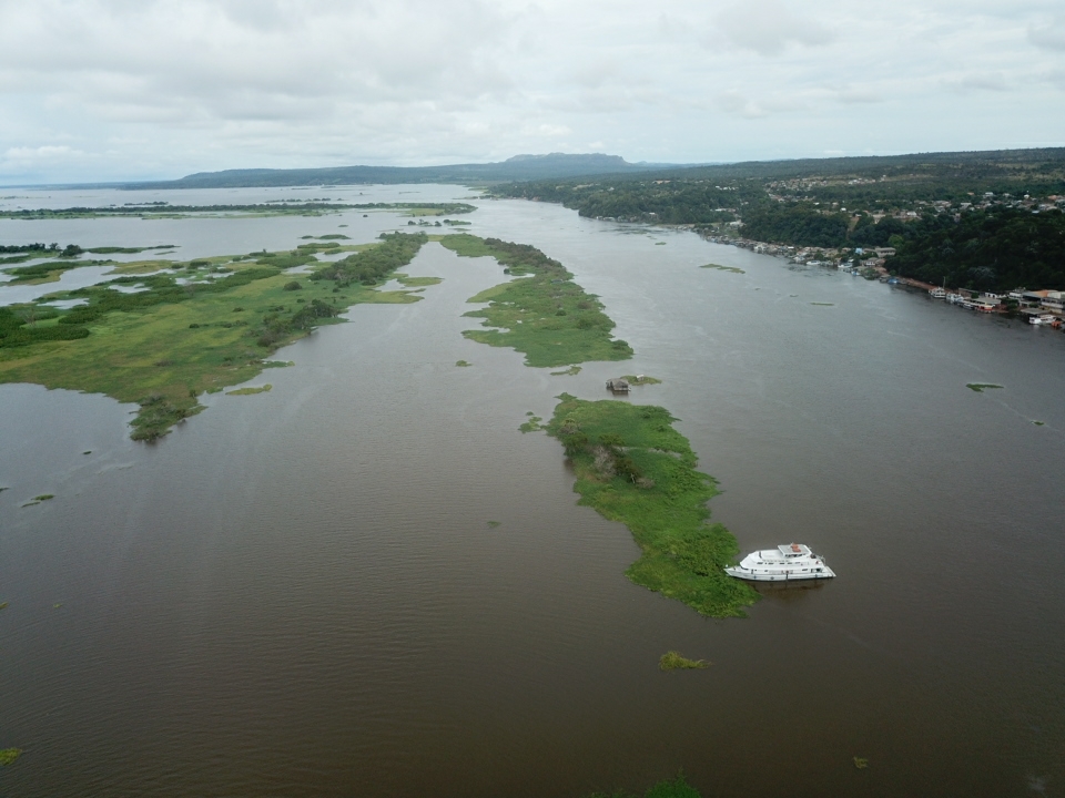
Connected North: Enhanced Route Study Successfully Completed
The Enhanced Route Study (ERA), which mapped the terrain and the conditions for the deployment of an underwater cable in the bed of the Amazon rivers, was completed on 25/06. The boat, which set sail from the port of Manaus (AM) on 30/5, arrived at Santana (PA), a city next to Macapá, completed all the steps planned for the hydrographic survey for the deployment of Infopath 00, a pilot project for the Connected North Program. The program is led by the Ministry of Communications, with support from RNP in the development of the pilot.
The purpose of the expedition, mapping the terrain of the riverbed and the conditions of the stretch for the deployment of the optical fiber cables that will connect Macapá (AP), Almeirim (PA), Monte Alegre (PA), Santarém (PA), and Alenquer (PA), was completed before the deadline thanks to good weather conditions and a high tide in the amazon rivers during June.
The topographic study step constitutes one of the essential stages for the feasibility of the deployment of the cable and complements the data required for licensing. The vessel carried a multidisciplinary team, including technicians from EGS Brasil, the company contracted to carry out the hydrographic survey. Aldemir Rodrigues, Network and Infrastructure Analyst, participated as the RNP technician responsible for analyzing the data along with EGS and supporting technical decisions about the route defined for the deployment.
The next step consists of the deployment of the optical fiber cables, which is scheduled for 2021. The Connected North Program will expand the communications infrastructure in the Amazon Region, contemplating public policies on telecommunications, education, research, health, defense, and the judiciary, among others.
